Services

Compliant aerial capture plus the processing and analysis that turn it into decision-ready deliverables.

Mapping & survey data

Accurate maps and models

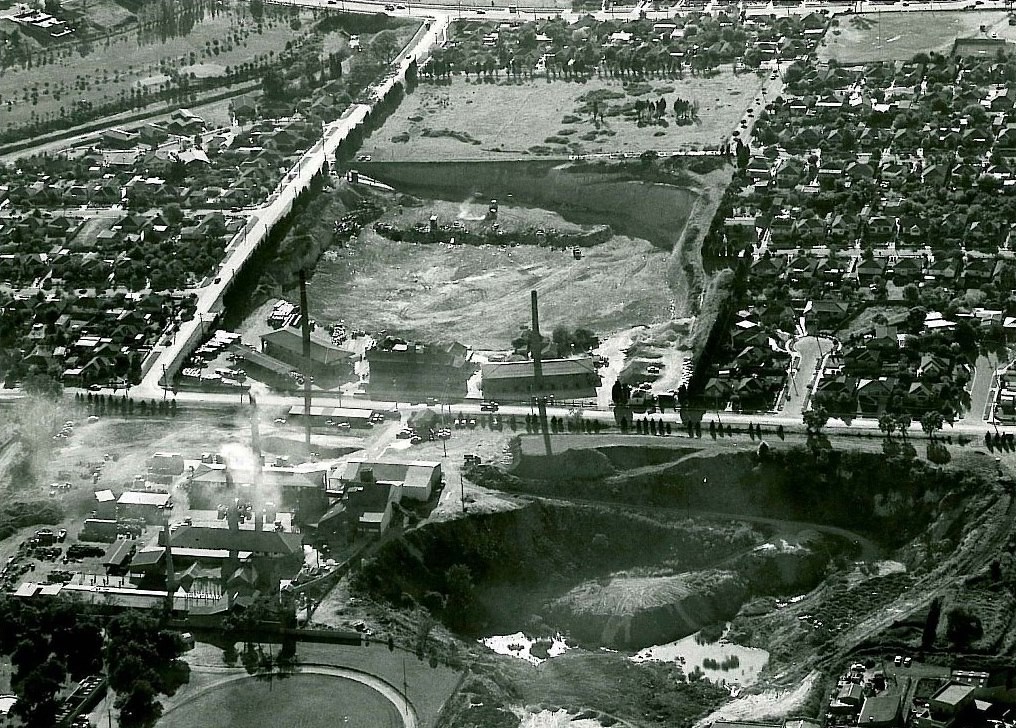
We capture sites and process them into measurable, georeferenced products your engineers and planners can work from.

  • Orthomosaics and high-resolution site imagery
  • Topographic surfaces, contours, and 3D models
  • Volumetrics for stockpiles and earthwork
  • Progress documentation for construction and projects
  • Outputs in GIS, CAD, and agency-required formats
Aerial mapped view of a site
Aerial inspection of infrastructure
Inspection

See it without the scaffolding

Drones reach roofs, towers, levees, dams, and structures safely, fast, and without shutting down operations.

  • Roof, facade, and structural condition capture
  • Tower, antenna, and utility-line inspection
  • Levee, dam, and embankment documentation
  • Thermal scans for solar arrays and moisture intrusion
  • Annotated condition reports with findings
Land & forestry

Remote ground, covered

We document the federal lands most providers will not drive to, then turn the imagery into analyzed map products.

  • Vegetation and land-cover mapping
  • Post-fire and post-storm assessment
  • Trail, road, and access condition documentation
  • Multispectral vegetation-health analysis
  • Change detection across repeat flights

Delivered, not just captured

Raw imagery is the easy part. Our edge is the processed, analyzed deliverable, built on professional GIS experience and handed over in the format your agency actually uses.

Tell us the site and the data you need.

Send the location, the deliverable, and any solicitation number. We respond the same business day.

Request a Flight