Compliant aircraft, analyzed data.
Rainier Aerial is the aerial data division of Rainier Operations Group LLC, a HUBZone-certified small business in Tacoma, Washington. We capture and analyze aerial data for federal agencies and government clients, from construction sites and infrastructure to the remote public lands across the state.
Two things set the work apart. First, we fly aircraft from the Blue-UAS Cleared List, so our data is eligible for federally funded contracts that bar foreign-made drones. Second, we do not stop at imagery. We process and analyze every capture into measurable, decision-ready map products, drawing on professional geographic information systems experience.
How we work
We scope the site, plan the mission to FAA Part 107 standards, capture the data with a compliant drone, and deliver processed outputs in the formats your team needs. One point of contact owns the project from request to delivery.
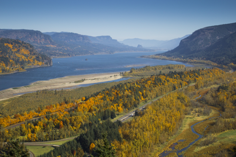
Where we fly
From our base in Tacoma we serve sites throughout western Washington and beyond, with a deliberate focus on the remote federal terrain that urban providers will not travel to.